| Home; Aviation; Cameras; Fiction; Health&Safety; Military; MS-Apps; Non-Fiction; Submarine; Technical; Trains; Watches; Transportation |
|---|
Chaparral Airstrip 30 miles east of Arapahoe Airport (later, Centennial Airport), Colorado, November 1973
Edited by David Barth January 2016. Photo was taken by David Barth.
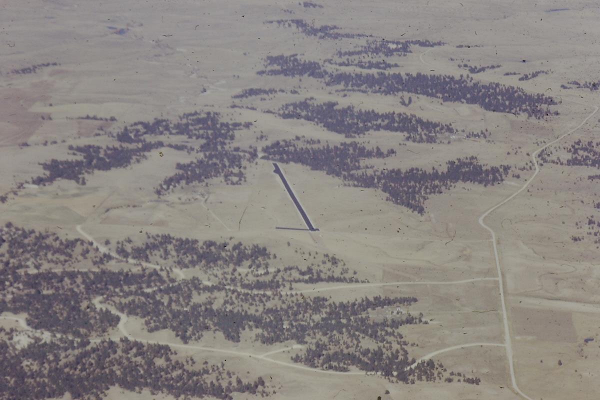 |
| Chaparral airstrip, November 1973. |
My flight instructor, Ron Stoutz, became friends with the developer and took his students, like me, to the airport to practice navigating to and landing on the strip. The developer appreciated pilots flying into the airstrip to help market his land sales.
This view of the asphalt-paved airstrip is to the north with the runway oriented north-south, to take advantage of prevailing winds.
Ron took me to Chaparral twice, once during the day and again on a moonless night when we were able to find the airport by flying an outbound radial from the Kiowa VOR a certain number of miles. I convinced Ron to let me do a touch-and-go in the dark. We touched down on the northbound runway and I immediately applied power to clear the trees at the north end of the strip. That landing gave me confidence for night navigation and landing.