| Home; Aviation; Cameras; Fiction; Health&Safety; Military; MS-Apps; Non-Fiction; Submarine; Technical; Trains; Watches; Transportation |
|---|
Columbine Airport, Littleton, Colorado, 1973
Edited by David Barth February 2016. Photo was taken by David Barth.
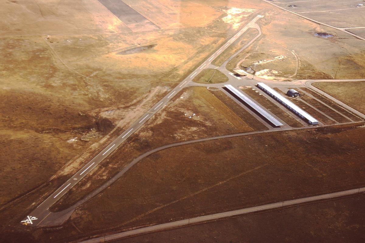 |
| Columbine Airport, Littleton, Colorado, 1973. |
This photo was taken in November 1973. Note the "X" across the runway number indicating that the runway is closed, and all aircraft and moveable objects are gone.
This view is toward the east with the closer end of runway 12 oriented to approximately magnetic 120 degrees (east-southeast). Because winds in the Denver area normally prevail from the northwest, the other end of the runway, 30, oriented approximately 300 degrees (west-northwest) was the normal runway used for takeoffs and landings, into the wind.