| Home; Aviation; Cameras; Fiction; Health&Safety; Military; MS-Apps; Non-Fiction; Submarine; Technical; Trains; Watches; Transportation |
|---|
Western part of Boulder, Colorado, 1996
Edited by David Barth February 2016. Photo was taken by David Barth.
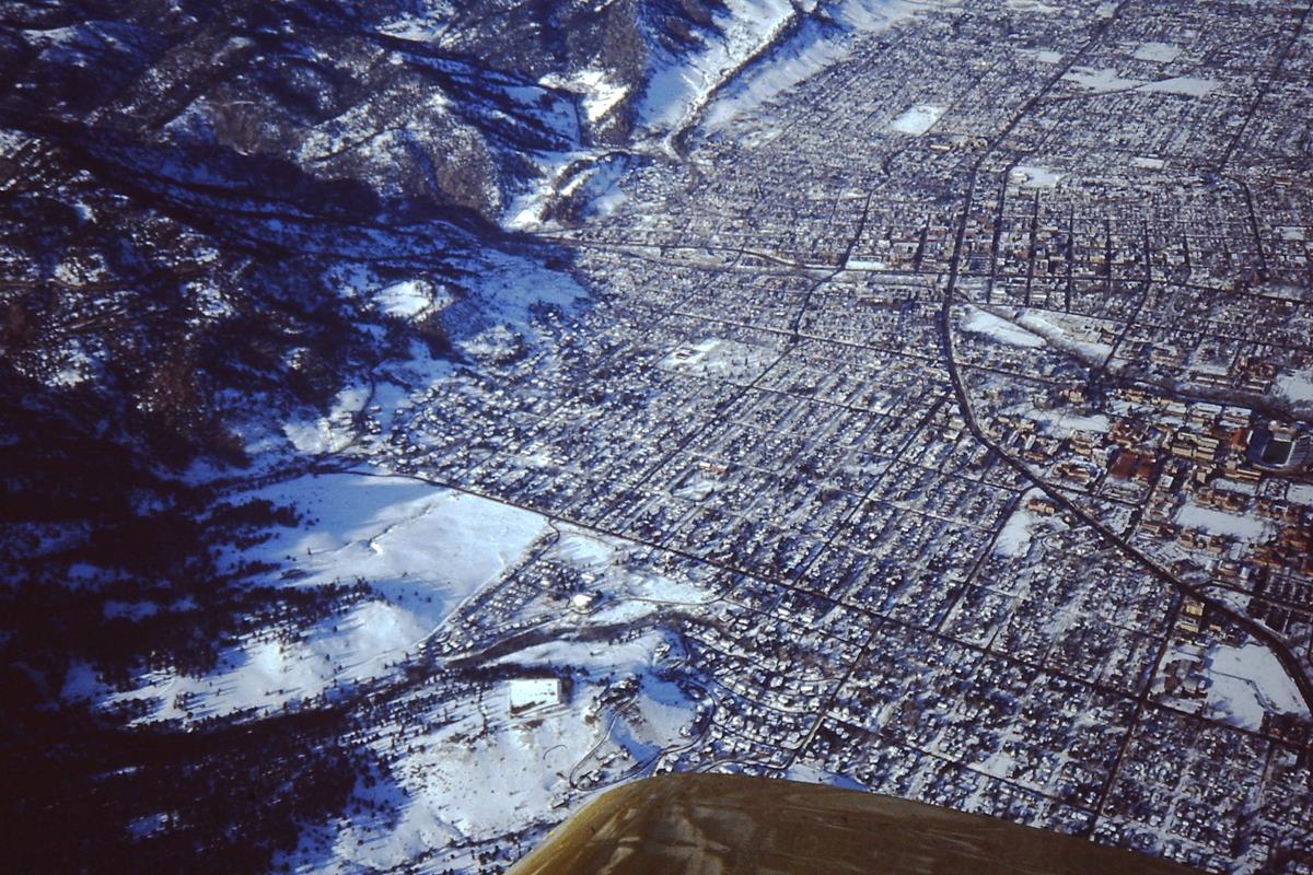 |
| Western part of Boulder, Colorado, 1996. |
Boulder lies next to the foothills, and a few miles west of them is the Continental Divide which runs north from Arizona into Canada. The canyon at the upper left has roads that access the mountains.
CU has become the home of a large technical workfroce employed in research facilities including Lockheed, the National Center for Atmospheric Research (NCAR), the National Earthquake Information Center (NEIC), and IBM. NEIC tracks earthquakes around the globe through many sensors that transmit information to Boulder by satellite.
Many companies have had their start in Boulder. In a sense, Boulder is a little like Silicon Valley in California.