| Home; Aviation; Cameras; Fiction; Health&Safety; Military; MS-Apps; Non-Fiction; Submarine; Technical; Trains; Watches; Transportation |
|---|
Everett Farm, Lakewood, Colorado
Satellite photos courtesy Google Earth.
Edited by David Barth 1 April 2014. Surface photos by David Barth.
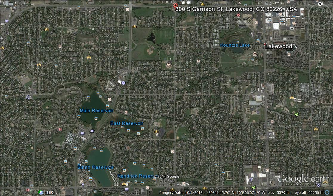 |
| Everett Farm Satellite photo courtesy Google Earth. |
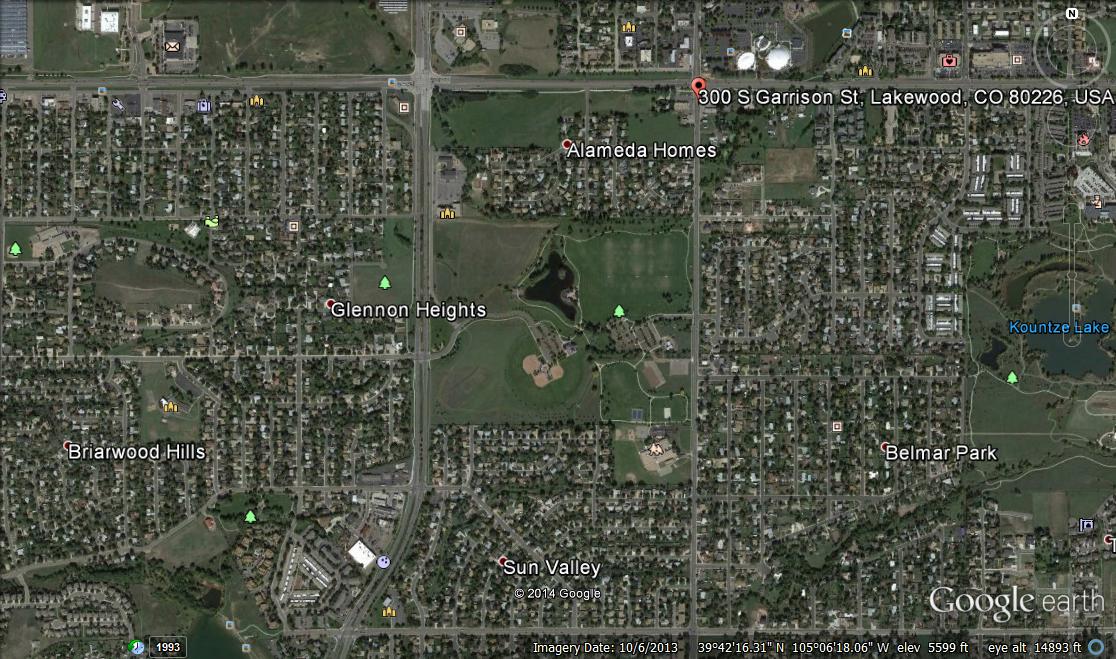 |
| Everett Farm Satellite photo courtesy Google Earth. |
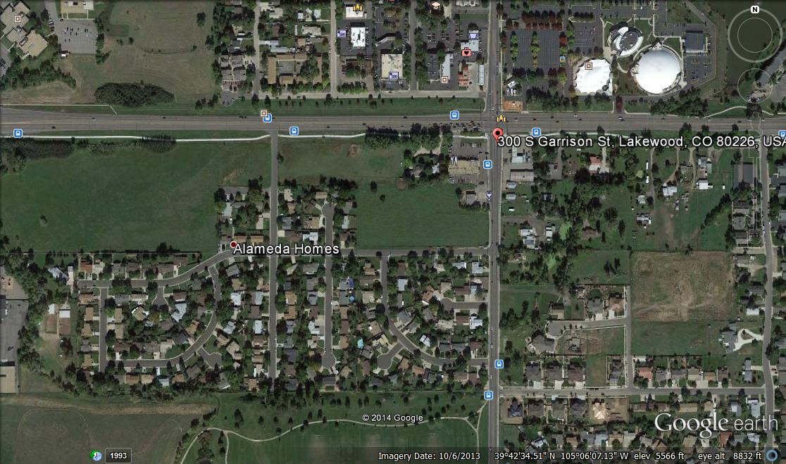 |
| Everett Farm Satellite photo courtesy Google Earth. |
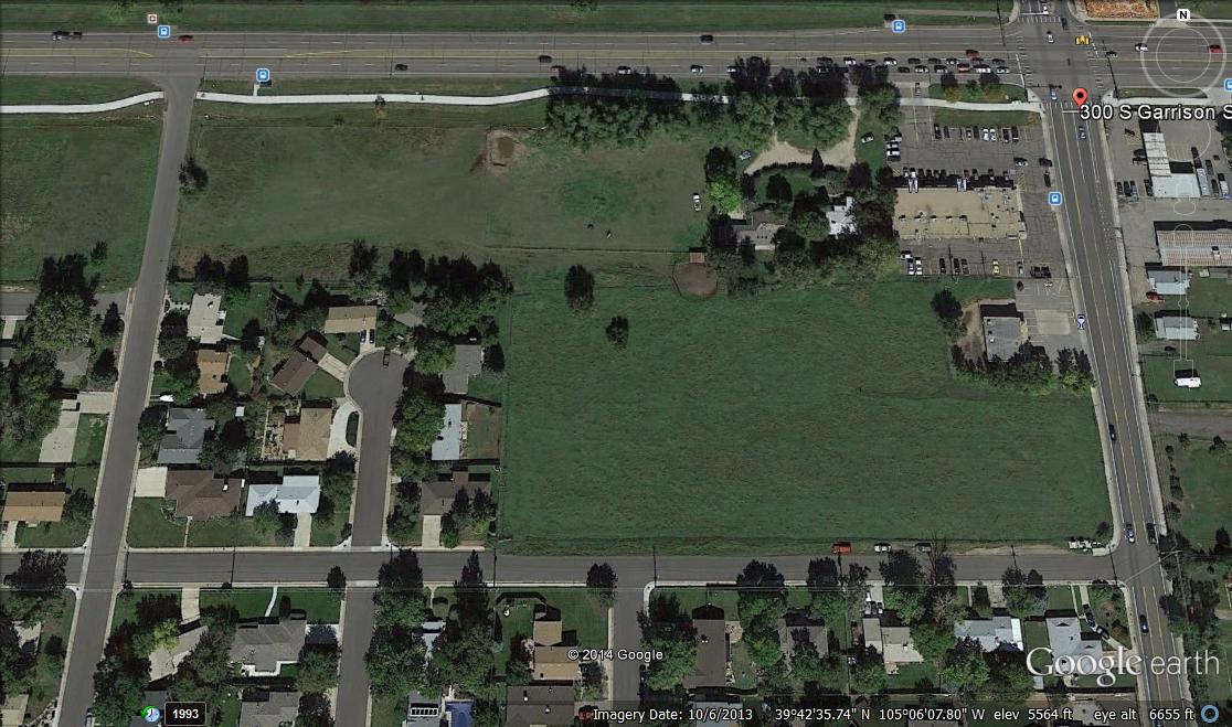 |
| Everett Farm Satellite photo courtesy Google Earth. |
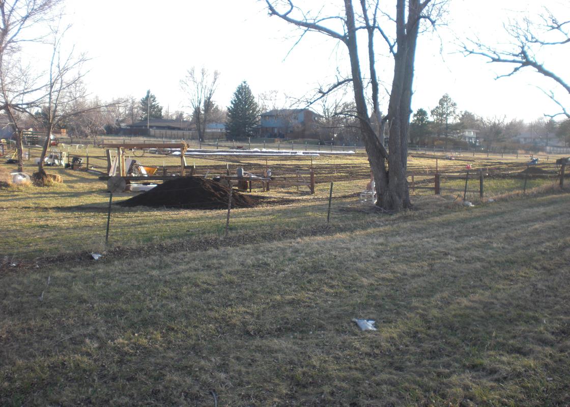 |
| Everett Farm, Lakewood, Colorado. |
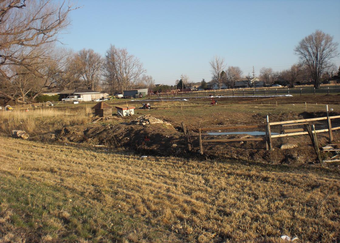 |
| Everett Farm, Lakewood, Colorado. |
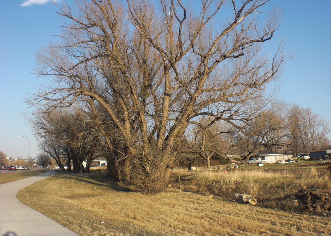 |
| Everett Farm, Lakewood, Colorado. |
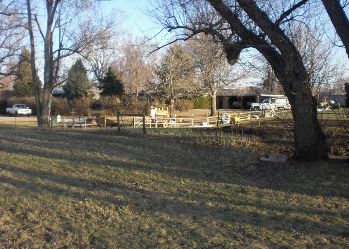 |
| Everett Farm, Lakewood, Colorado. |
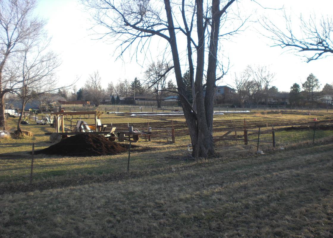 |
| Everett Farm, Lakewood, Colorado. |
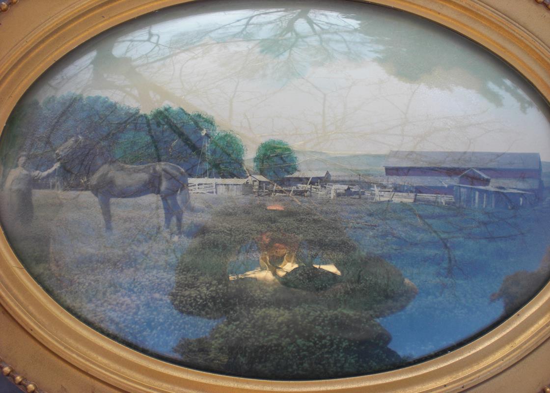 |
| Everett Farm, Lakewood, Colorado. |
John Everett came to the Denver area in 1868 or 1869 with his parents. He staked claims to land south of Alameda Avenue between Garrison and Kipling Streets in 1876 that eventually consisted of two sections, 640 acres per section, for a total of 1,280 acres. The north east corner of the property was at 300 S. Garrison Street. He constructed a house of a 12 x 14 feet canvas framework. The roof was made of tins that Chinese merchants used to ship tea.
John Everett's grandson, Tom, and his mother, Lura Addenbrooke, built a house on their farm that was on the southern section of the property. The Everett Farm occupied the north section.
During the 1970s and 1980s, peacocks lived in the tall trees around the house. In the evenings, they could be heard "mewing" many blocks away.
The City of Lakewood bought 105 acres of the property in 1978. They bought 5 additional acres, including the Addenbrooke house, in 1987. The house was torn down in 1997 because it was determined it would be too expensive to renovate and maintain. Only the fireplace and a windmill located nearby remain today from the farm.
The remaining portion of the Everett farm just south of Alameda Avenue, is still owned and occupied by the Everett family. For years they have had three white horses that grazed on their property.
From the Jefferson County Zoning Commission records:
"Land belonged to the Everett Family in 1876. Tom Addenbrooke, the grandson lived on the farm with his family. There were 111.931 acres. The land was condemned for the park between Kipling and Garrison Streets, and south of Alameda Avenue, for the cost of $1,310,000. In 1984, the city started planning the park. It includes a community recreation center, Tennis and volleyball courts, parking space area, a horse trail, picnic facilities, playgrounds area, Lake and concession stand. The park was named after Tom Addenbrooke, who was the third generation to live on the farm. Boundary lines extended from Alameda to Kipling to Garrison and south off Florida Avenue. John Edward Everett was his grandfather who also received a certificate of land ownership from President Grover Cleveland in 1895. The family had been on the property since 1876. It had been a grant to the Union Pacific Railroad. Everett had been in the freight hauling business and his work took him to Leadville and the high mountain passes. They were always looking for easier routes into the mountains. Everett's daughter married Englishman Richard Addenbrooke, who was into popular theatre trapdoors and devices. He worked for the Tabor Opera House. The farm kept a large flock of peacocks. Many Indian artifacts were found along the old trail through his farm which was 640 acres."
| LAKEWOOD HISTORICAL SOCIETY SITES | ||||
|---|---|---|---|---|
| NUMBER KEY | IDENTIFICATION | ADDRESS | YEAR BUILT | REGISTRY |
| 1 | Cason Howell House | 1575 Kipling Street | 1874 | State Registry |
| 2 | Washington Heights School | 6375 West First Street | 1889 | State Registry |
| 3 | Stone House | 2900 South Estes Street | 1886 | National Registry |
| 4 | Peterson House | 801 South Yarrow | 1880 | National Registry |
| 5 | Davies Chuck Wagon Diner | 9495 West Colfax Avenue | 1957 | National Registry |
| 6 | Schupp House | 1275 Ames Street | 1908 | |
| 7 | Ward House | 2261 Estes Street | 1928 | |
| 8 | WWII Memorial Monument | 7655 West 10th Street | 1947 | |
| 9 | Golden Hill Cemetery - Hill | 12000 West Colfax Avenue | 1908 | National Registry |
| 10 | Mercy Grove House | 1980 Garland Street | 1935 | |
| 11 | Cline House | 7020 West 13th Street | 1939 | |
| 12 | Rose Cottage | 1800 Dover Street | 1918 | |
| 13 | Panoramic Park | 12655 West Colfax Avenue | 1961 | |
| 14 | Addenbrooke Fireplace | 9100 West Center Avenue | 1953 | |
| 15 | Isaac Solomon Synagogue | 1600 Pierce Street | 1904 | |
| 16 | Schnell Farm | 3113 South Wadsworth Boulevard | 1888 | National Registry |
| 17 | O'Kane House | 6795 West First Street | 1897 | |
| 18 | Kellogg House | 2080 Klein Street | 1888 | |
| 19 | Everett Farm | 300 South Garrison Street | 1922 | |
| 20 | Denver & Intermountain Car 25 | 500 Kipling Street (Federal Center) | 1911 | State Registry |
| 21 | Mile High Church | 9079 West Alameda Avenue | 1973 | |
| 22 | Heavenly Paradise House | 975 Reed Street | 1952 | |
| A | Building 710 (Federal Center) | 10000 West Alameda Avenue | 1960 | National Registry |
| B | FEMA Building | 10000 West Alameda Avenue | 1969 | National Registry |
| C | JCRS Historic District | 1900 Pierce Street | 1900 | National Registry |
| D | Bonfil-Stanton Outbuildings | 797 South Wadsworth Boulevard | 1920 | State Registry |
| E | Country Club Garden Apartments | 1160 Pierce Street | 1962 | State Registry |